

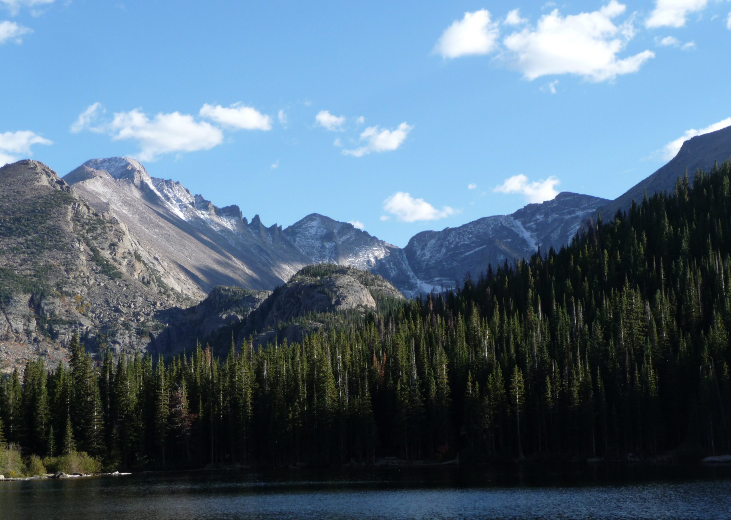
Quick answer: The five tallest mountains in Rocky Mountain National Park are Longs Peak (14,259 ft), Mount Meeker (13,911 ft), Chiefs Head Peak (13,579 ft), Hagues Peak (13,560 ft), and Ypsilon Mountain (13,514 ft). Longs Peak is the only one reachable via a non-technical route with a real trail for most of the distance; the other four require off-trail scrambling and mountaineering experience rather than a standard day hike.
Rocky Mountain National Park has 60 named peaks above 12,000 feet, but only five climb above 13,500 — and just one of them, Longs Peak, breaks 14,000. None of these five are casual afternoon hikes, but they range from “extremely strenuous but non-technical” to “serious mountaineering objective,” and each carries a naming story tied to the people who explored, surveyed, or simply looked at them a century or more ago.
1. Longs Peak — 14,259 feet
Longs Peak is the highest point in Rocky Mountain National Park, the only fourteener in the park, and one of the most recognizable summits in Colorado — visible from as far away as Denver and Fort Collins, rising roughly 9,000 feet above the plains to its east. It was named for Stephen Harriman Long, who led an 1820 U.S. Army expedition through the region and is credited as the first American to document sighting the peak, though he never climbed it or came especially close. The first documented ascent came decades later, in 1868, by a party led by explorer and geologist John Wesley Powell.
Is it hikeable? Yes — Longs Peak is the only one of these five peaks with a real, maintained trail for most of the route and a non-technical standard path to the top, the Keyhole Route. That said, “non-technical” doesn’t mean easy: it’s roughly 14 to 15 miles round trip with about 5,000 feet of elevation gain, includes exposed class 3 scrambling near the summit, and requires an alpine-style start (often 2 or 3 a.m.) to be off the exposed sections before afternoon thunderstorms roll in. It’s a serious full-day mountaineering objective, not a casual hike, and is typically only attempted without technical climbing gear from around July through early September.
2. Mount Meeker — 13,911 feet
3. Chiefs Head Peak — 13,579 feet
Chiefs Head Peak, the third-highest point in the park, takes its English name directly from its Arapaho name, which translates roughly to “heads” — a reference to the mountain’s silhouette, which, viewed from the Wild Basin area, resembles the profile of a Native American chief’s face and headdress looking skyward. It sits on the Continental Divide and is considerably more remote than either Longs Peak or Mount Meeker, with no easy access from any single trailhead.
Is it hikeable? Technically yes, in the sense that its standard route is a class 2+ scramble rather than a technical climb, but it requires a long, trail-less approach through wilderness terrain, making it one of the least frequently climbed peaks on this list and firmly in mountaineering territory rather than day-hiking territory.
4. Hagues Peak — 13,560 feet
Hagues Peak is the highest point in the Mummy Range, the cluster of peaks on the park’s north side, and the high point of Larimer County. It was named for brothers James and Arnold Hague, a surveying and geology team from Boston who worked in the area in the late 1870s as part of broader USGS survey efforts across the American West. Just north of the summit sits the small, persistent Rowe Glacier, one of the few glacial remnants still visible in the park.
Is it hikeable? Yes, for strong, experienced hikers — the standard route is mostly class 2 hiking over solid, blocky rock, but there’s no maintained trail, and the closest trailheads (Chapin Pass or Lawn Lake) are 6 to 9 miles away with thousands of feet of elevation gain, making this a full-day wilderness undertaking rather than a marked hike.
5. Ypsilon Mountain — 13,514 feet
Ypsilon Mountain, also in the Mummy Range, gets its distinctive name from a distinctive feature: two snow-filled couloirs on its east face that together form the shape of the Greek letter upsilon, or “Y.” The name was given in 1887 by Mrs. Frederick H. Chapin, who observed the Y-shaped snowfield while traveling in the area with her husband, mountaineer Frederick Chapin (for whom nearby Mount Chapin is separately named).
Is it hikeable? Yes, relatively speaking — the easiest route, the Southwest Ridge from Chapin Pass, is described as a straightforward class 2 walk over open tundra with no technical climbing required, though there’s still no maintained trail. It’s often combined with neighboring Mount Chiquita and Mount Chapin into a single long day known locally as “Mummy Mania.”
The Five Tallest, at a Glance
Frequently Asked Questions
Which is the only true “fourteener” in Rocky Mountain National Park?
Can beginners hike any of these five peaks?
Why don’t Mount Meeker, Chiefs Head, Hagues, and Ypsilon have maintained trails?
What time of year is safest to attempt these peaks?
Part of the Estes Park HQ hiking series. See also: Trail Ridge Road: America’s Highest Continuous Highway and The Best Family-Friendly Hikes in Rocky Mountain National Park.